NOAA releases updated climate summaries for all U.S. states. What will happen in Michigan?
Forecasted environmental change may cause serious impacts throughout the state and on the Great Lakes water levels and flooding.

Temperatures in Michigan have risen nearly 3 degrees Fahrenheit since the beginning of the 20th century and continued warming is expected for the remainder of this century, causing environmental impacts on lake levels, precipitation patterns, and more.
What are the State Climate Summaries?
In response to the Third National Climate Assessment (NCA) in 2017, the National Atmospheric and Oceanic Administration (NOAA) National Centers for Environmental Information produced State Climate Summaries to address the need for more detailed state-level predictions. Updated in 2022, these summaries allow users to select any state in the U.S. from an online interactive map and explore key messages, read a full narrative, and download figures from the report. Each state summary includes a description of historical climate conditions with input sought from State Climatologists and NOAA Regional Climate Centers to provide context for predicted future impacts. Similarly, future climate scenarios are based on reputable, previously published sources of data and focus on physical climate and coastal issues.
What history tells us in Michigan
The State Climate Summary for Michigan highlights the unique climatic features of the state, including the large seasonal changes in temperature and the moderating effects of the Great Lakes. In particular:

- The Lakes’ moderating effect is evident along the shores and allows Michigan to be more temperate and moist than other north-central states.
- Temperatures in the state have been higher in the 2000s than in any other historical period, with warming concentrated in the winter and spring seasons.
- Annual maximum ice coverage on the Great Lakes during 2000-2021 was 47%, compared to the 1973-1999 average of 58%.
- The frequency of extreme precipitation events has increased: the average number of 2-inch extreme precipitation events for 2010-2014 and 2015-2020 are the highest on record.
- Great Lakes water levels have fluctuated between 3 to 6 feet since the late 19th century. Over the last few decades, water levels on average have declined slightly for most of the Great Lakes according to the EPA and hit record lows in 2013. However, annual average lake levels have risen rapidly since 2013, breaking records in 2020.
What we expect for Michigan’s future
-
Temperature
- While the Great Lakes region has already experienced an increase of 2.3 F, annual average temperatures are expected to exceed historical levels by mid-century under most emissions pathways (“emissions pathways” refer to projected human-induced greenhouse gas emissions over the 21st century).
- Extreme heat is a concern for urban areas like Detroit due to the urban heat island effect whereby dense concentration of pavement and buildings combined with high temperatures and humidity cause dangerous heat index values.
- Higher spring temperatures may lengthen the growing season; however, crops may be increasingly susceptible to spring freeze damage when blooms caused by early-season warm temperatures are followed by freezing conditions.
-
Precipitation
- The frequency and intensity of precipitation is projected to increase, particularly in winter and spring.
- The intensity of future droughts is projected to increase due to rising temperatures causing increased evaporation rates and soil moisture loss.
-
Great Lakes water levels
- Increased evaporation and changes in precipitation will affect water levels in the Great Lakes, though future magnitude and direction of change are unknown.
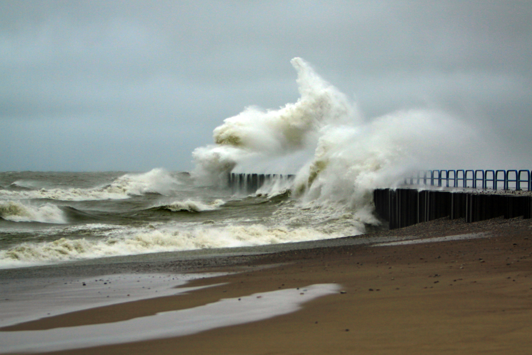
- High lake levels can cause destruction of beaches, erosion of shorelines, damage to public infrastructure and private property, and flooding.
- Low lake levels can affect the supply and quality of water, restrict commercial shipping and private boating, and contribute to loss of wetlands.
- Reduced winter ice cover will leave shores vulnerable to erosion and flooding.
While the points above represent likely scenarios under climate change, these summaries do not associate any probabilities with stated outcomes. Input was sought from climate experts in each state, including the NOAA Regional Climate Centers and State Climatologists who use current science to inform their perspectives.
Michigan Sea Grant helps to foster economic growth and protect Michigan’s coastal, Great Lakes resources through education, research and outreach. A collaborative effort of the University of Michigan and Michigan State University and its MSU Extension, Michigan Sea Grant is part of the NOAA-National Sea Grant network of 34 university-based programs.
(Editor's note: Author Martha Gerig no longer works for Michigan Sea Grant. If you have questions about this article please contact Michigan Sea Grant.)
This article was prepared by Michigan Sea Grant under award NA180AR4170102 from the National Oceanic and Atmospheric Administration, U.S. Department of Commerce through the Regents of the University of Michigan. The statements, findings, conclusions, and recommendations are those of the author(s) and do not necessarily reflect the views of the National Oceanic and Atmospheric Administration, the Department of Commerce, or the Regents of the University of Michigan.


 Print
Print Email
Email


