CREP Prioritization: Mapping Sediment Loading Risk in the Saginaw Bay Basin - Lapeer County
DOWNLOADMarch 27, 2022
 Print
Print Email
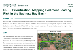
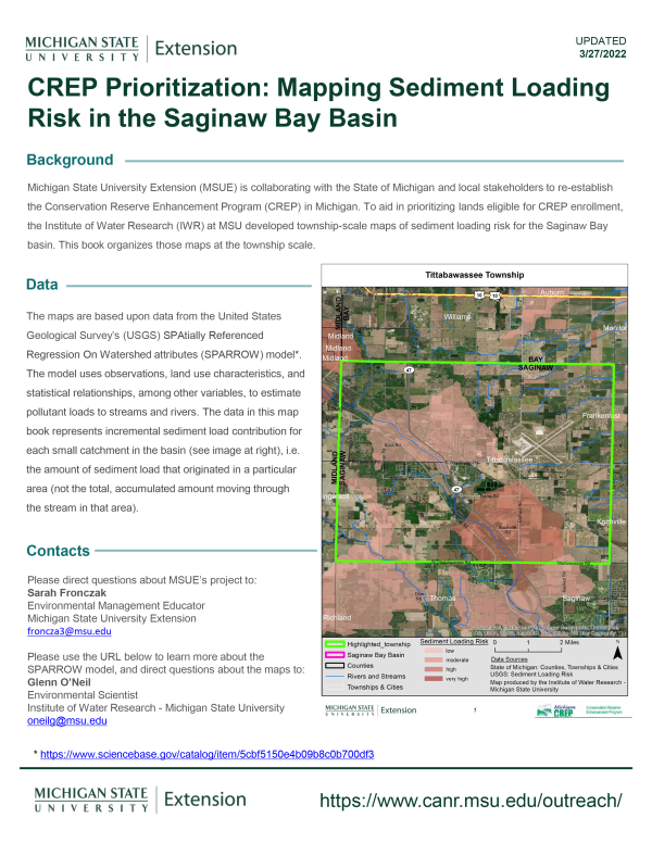
EmailMichigan State University Extension (MSUE) is collaborating with the State of Michigan and local stakeholders to re-establish the Conservation Reserve Enhancement Program (CREP) in Michigan. To aid in prioritizing lands eligible for CREP enrollment, the Institute of Water Research (IWR) at MSU developed township-scale maps of sediment loading risk for the Saginaw Bay basin. This book organizes those maps at the township scale.