



Michigan State University Western Lake Erie Basin Values Statement
The MSU Extension Western Lake Erie Basin (WLEB) Initiative provides Michigan agricultural producers with critical information for minimizing phosphorus losses from farms fields. Phosphorus runoff leads to excessive weed and algal growth in Lake Erie. Other sources such as storm water, animal and pet wastes, lawns, tributaries to the lake, septic systems, wastewater treatment plants and dredged sediments also can contribute phosphorus to Lake Erie.
The MSU Extension WLEB Initiative raises awareness and provides science based information through targeted webinars, articles, media releases, field days and other educational programs. This practical information reflects our role in connecting field level application with emerging research based knowledge.
Lake Erie, considered the eleventh or twelfth largest lake in the world by surface area, is the shallowest of the Great Lakes averaging 62 feet in depth with a maximum depth of 210 feet. Because of its shallow depth, warm waters, and excessive input of nutrients from the surrounding land area, Lake Erie is particularly susceptible to algal blooms. To learn more, read Agriculture’s Role in Protecting Lake Erie.
Photo Credit: www.nrcs.usda.gov Western Lake Erie Basin Watershed Map.
Looking for up to date information on the status of Lake Erie? Click here for the 2015 Lake Erie Harmful Algal Bloom Projections and Bulletins.
News
-
MSU Extension and Monroe Conservation District to host Tillage and Soil Health Field Day on September 9
Published on August 26, 2026
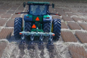
This field day will feature a tillage equipment demonstration to see strip tillage, vertical tillage and a high-speed disc in action. -
Conservation field days coming up in the Western Lake Erie Basin
Published on July 30, 2026
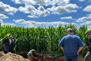
Don’t miss these demos on tillage equipment, cover crop flyover, soil pit, manure spills and more in the Basin. -
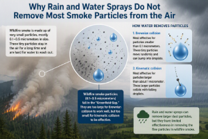
Can irrigation or rain clear wildfire smoke?
Published on July 27, 2026
Understanding water as a tool for clearing the air.
 Print
Print Email
Email