



 |
CANMaPP is an online tool that helps Michigan farmers and conservation professionals implement, manage, and document nutrient management plans.
|
CANMaPP |
 |
The Michigan SAIS is an online mapping tool that helps producers identify environmentally sensitive areas on their fields and connect with conservation resources.
|
SAIS |
 |
The RUSLE Tool is a web-based system that helps users estimate soil erosion and evaluate conservation practices to reduce soil loss.
|
RUSLE |
 |
The HIA Toolkit provides free mapping, data, and assessment tools to help evaluate the public health impacts of planning and development decisions.
|
HIA Toolkit |
 |
SIDMA is an online tool that helps users create, analyze, and visualize social indicators to measure the impact of water quality and conservation efforts.
|
SIDMA |
 |
GLWMS is an online tool that helps users evaluate, track, and report water quality and groundwater recharge improvements across watersheds and fields.
|
GLWMS |
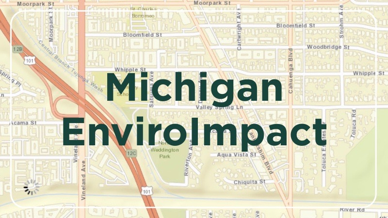 |
EnviroImpact provides daily runoff risk forecasts across Michigan, helping farmers and conservation professionals reduce nutrient runoff and protect water quality.
|
EnviroImpact |
 |
This project identifies Michigan communities most vulnerable to harmful algal blooms, helping inform water quality planning and public health decisions.
|
ARCGIS |
 |
This interactive tool helps users explore watershed conditions, evaluate water management strategies, and support informed local decision-making.
|
Clinton River DSS |
 |
An excel spreadsheet to help compare the costs of a solely institutional control reliant response versus active remediation options. Must enable macros.
|
Download |
 Print
Print Email
Email