Southwest Michigan field crop update – May 7, 2020
Warmer and drier weather has given farmers the opportunity to prepare fields and plant, but the approaching cold snap should put a halt to spraying and planting operations.
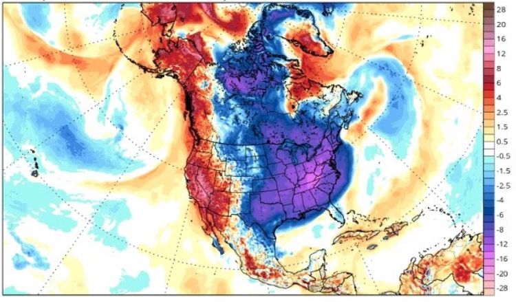
As you have likely heard, we are in for an unusual blast of cold weather over the extended weekend. According to Michigan State University Extension agricultural meteorologist Jeff Andresen, the air mass that will infiltrate the eastern half of the U.S. is of artic—that’s right, arctic, not Canadian—origin, which is very unusual for May. Predictions for southwest Michigan are for low to mid-20s on Saturday morning, May 9, 2020, which is expected to be the coldest day, although near-freezing nighttime temperatures are predicted through Monday.
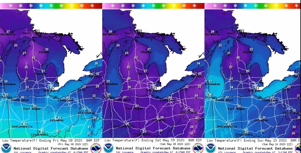
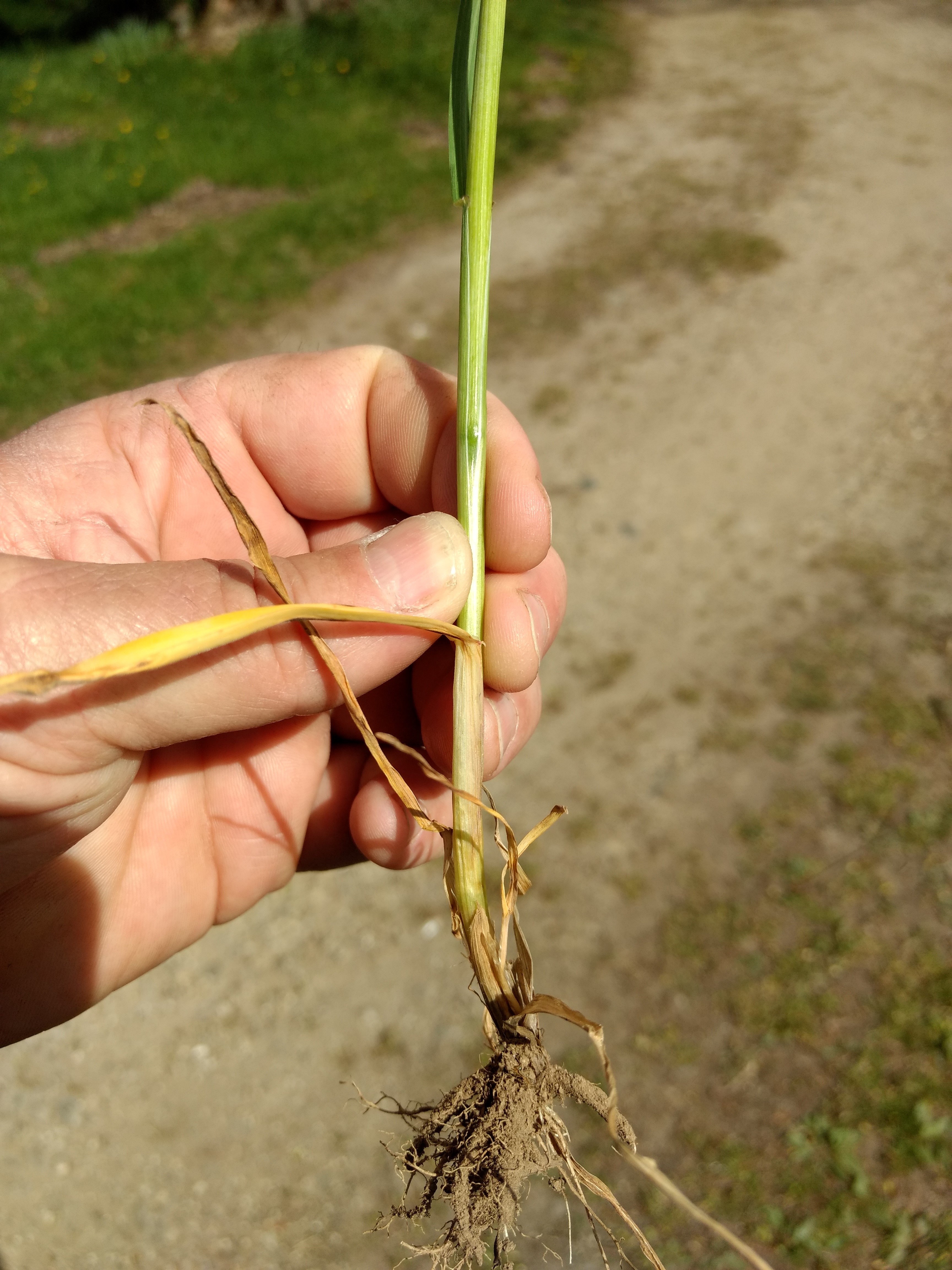
Damage to fruit trees and other budding plants is expected and growers are already preparing to take steps to protect fruit crops. Phil Kaatz, MSU Extension forage educator, says that alfalfa is over 6 inches tall in many fields and the crop is likely to be injured or even die back, with first cutting then relying on regrowth. MSU Extension wheat specialist Dennis Pennington says the growing point of wheat is currently between ground level and 6 inches above ground, and injury is definitely possible with a hard, extended freeze. Spring planted field crops that have emerged are also likely to incur injury as nighttime temperatures are expected to be below 28 F for several hours Friday night. Crops that were planted earlier this week or before, but are not yet emerged, are not expected to incur injury.
However, seeds that are planted within 24 to 48 hours prior to the hard freeze Friday night are at risk of imbibitional chilling. Purdue University corn agronomist Bob Nielsen wrote a recent article describing this physiological phenomenon regarding corn seed, although Purdue soybean agronomist Shaun Casteel has commented that soybean seed runs the same risk. The “first drink” that the seed uptakes should be above 50 F. Cold water taken up during this critical window can cause cell membrane damage and impact seedling growth and even survival.
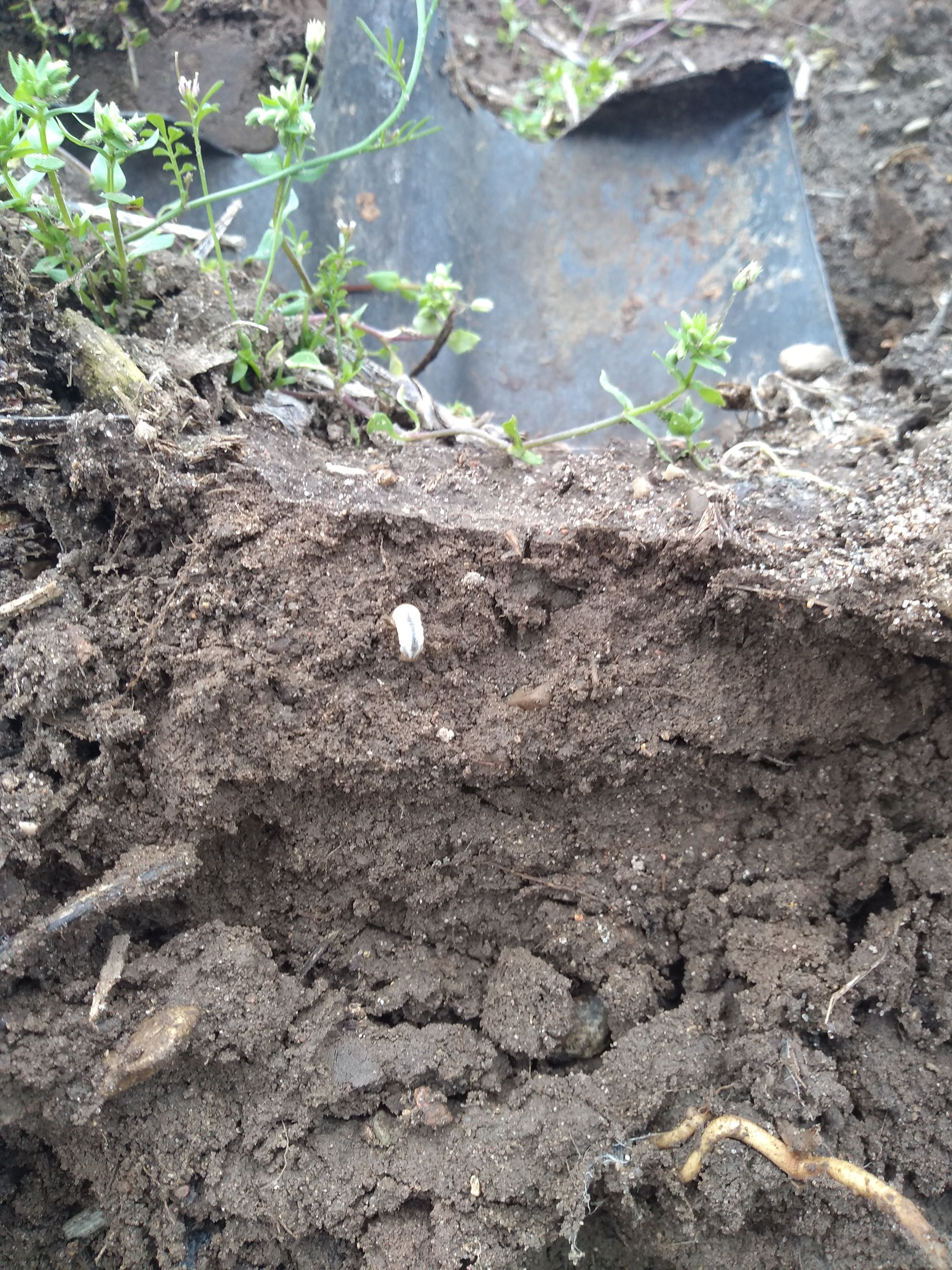
Soil temperatures need to be monitored to assess the risk of imbibitional chilling. Current average soil temperatures at the 2-inch depth under bare soil in the region are hovering around 50 F with highs in the mid-50s and lows in the upper 40s. Andresen predicts we could drop as much as 5-10 F in soil temperatures before the weather turns warmer next week. Nielsen recommends farmers stop planting now to avoid the risk and resume planting once minimum soil temperatures reach 50 F again.
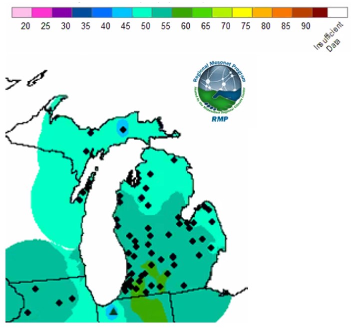
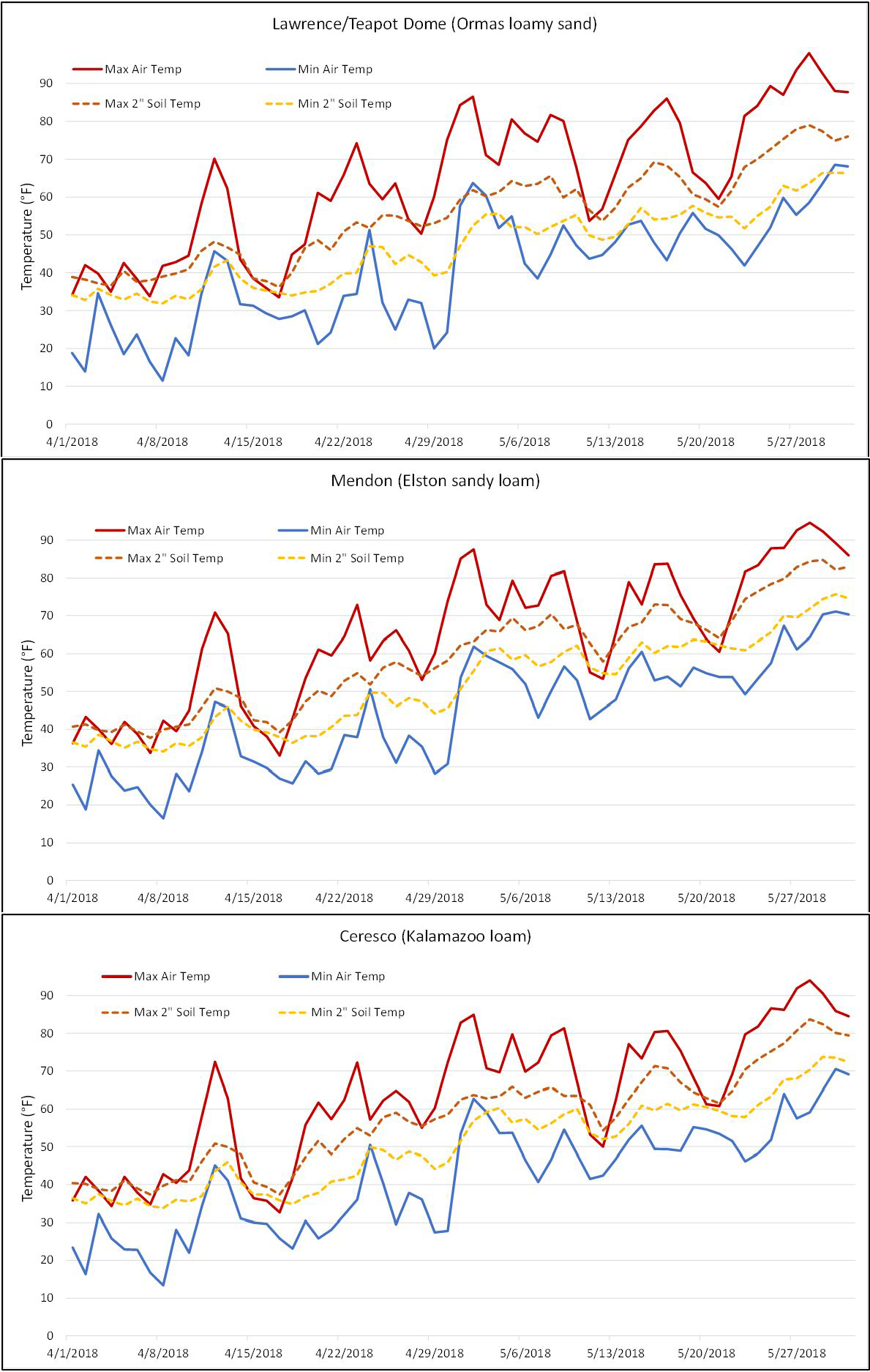
How soon will soil temperatures rebound? Several factors determine this, including soil type, soil moisture, residue cover, etc. A look at historic spring freeze events can be informative to see how soil temperatures responded. In April 2018, air temperatures dipped below freezing on at least one occasion in the latter half of April. The graphs below show how soil temperature responded at three MSU Enviroweather stations in the region with different soil types. In each case, soil temperatures rose fairly quickly after the freeze event on April 30.
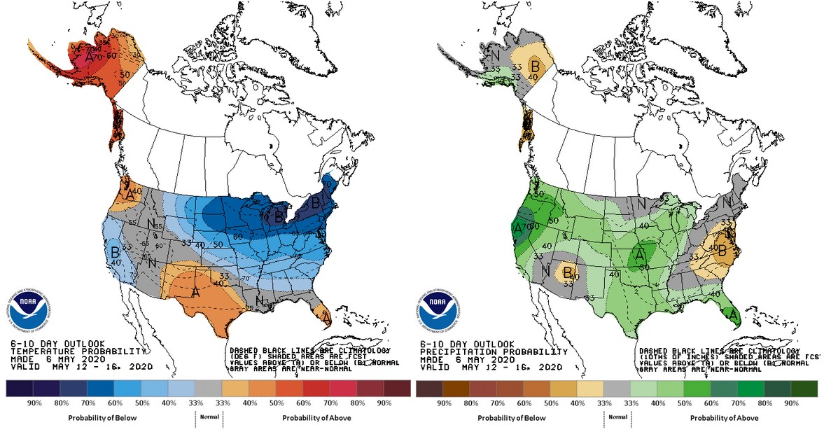
The key difference between 2018 and this year is that the duration of the cold weather in 2018 was relatively brief and daytime temperatures remained much closer to normal than what is predicted over the next five days. Even so, soil temperatures should climb quickly as average temperatures are expected to be near 60 F beginning mid-week next week. There is not much room for enthusiasm about warm temperatures though as the outlooks for mid- to late-May continue to call for cooler than normal conditions.


 Print
Print Email
Email